
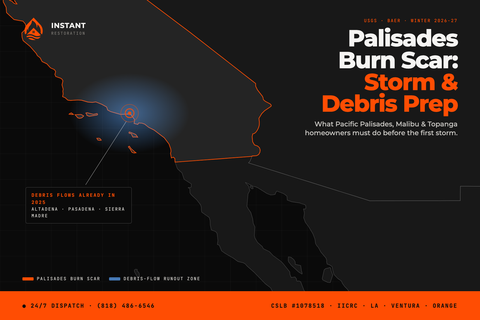
For the Palisades burn scar, debris flow isn’t a theoretical winter risk — it already happened. In the very first storms after the fire, in February and March of 2025, scarred hillsides above the coast sent mud and rock across Pacific Coast Highway, damaged drainage systems, and forced closures; an 8.5-mile stretch of PCH stayed shut to the public for months. The hillsides that did that have had barely two seasons to recover, and this winter’s forecast is wetter than the last.
If you live in Pacific Palisades, along the Malibu coast east of Malibu Canyon, or in the Topanga corridor, this guide covers what the first post-fire winter already taught this coastline — and the specific preparation that separates a cleanup from a catastrophe.
What Year One Already Proved
Officials didn’t have to model what rain does to this scar; they watched it. Storms triggered mudflows across PCH and canyon roads, flash-flood warnings were issued for the burn area, and the City of Malibu put evacuation warnings on the scar for storms that, by normal LA standards, were modest. Caltrans has since rebuilt drainage and slope protections along the highway, and crews staged K-rails and sandbags through the corridor — but engineered barriers manage debris, they don’t cancel it.
The physics is the same as on the Eaton scar above Altadena and Pasadena: burned slopes shed rain almost instantly instead of absorbing it, and the runoff picks up ash, soil, and rock as it funnels into the canyons. What makes the Palisades scar distinct is the geography below it — steep, short canyons that empty directly onto neighborhoods and the only coastal highway, so flows arrive fast and with almost no warning distance.
Where the Risk Concentrates
- The canyon mouths — Las Flores, Big Rock, Carbon Canyon, Rambla Pacifico, and the Topanga corridor. Homes near where a canyon meets the flats sit on the natural delivery route.
- PCH itself — plan every storm around the assumption the highway can close with little notice; it has, repeatedly. Know your inland route before you need it.
- Palisades hillside streets below burned slopes — especially properties whose drainage was damaged in the fire and hasn’t been rebuilt yet.
Check whether your address sits in a mapped evacuation zone before the season’s first storm — the City of Malibu and LA City publish burn-area storm updates and zone maps each time weather approaches.
The Prep List for This Coastline
Sandbags, placed to deflect. Free at LA County and City fire stations; Malibu publicizes distribution points during storm season. Angle them so water and fine mud steer around structures — a straight dam across a garage door fails to a real flow.
Clear what the fire left behind. Fire-damaged gutters, downspouts, and yard drains are this scar’s quiet failure point — many properties still have compromised drainage from the fire itself. Water that can’t leave your lot finds the house.
Respect the barriers. The K-rails along PCH and canyon roads are placed from flow modeling. Don’t gap them, and don’t park where debris crossed last year.
Photograph everything now, inside and out. After the 2025 storms, the difference between smooth and contested claims often came down to dated before photos.
Close the insurance gap. Mudflow and debris-flow damage generally fall under separate flood coverage, not standard homeowners policies — and flood policies typically carry a 30-day wait. Below this scar, that conversation with your agent is a this-week task, not a someday one. Our El Niño winter guide covers the storm pattern driving the urgency.
If Mud or Storm Water Reaches the House
Treat it as contaminated — Category 3 — and don’t push air at it or handle it bare-handed. Mud holds moisture inside walls and under floors long after surfaces look dry, which is how a “we shoveled it out ourselves” weekend becomes a mold and structural problem by spring. Photograph as-is, then get professional extraction started: that’s our flood and storm-water cleanup work, and we cover this entire coastline — Pacific Palisades and Malibu included — 24/7 through storm season.
Beat the First Storm, Not the Season
This coastline already ran the experiment once, in 2025, and the lesson was simple: the damage sorted homeowners by what they did the week before the rain. One dry weekend covers everything above. And if a storm wins anyway — mud, storm water, or flooding in the house — call (818) 486-6546. We answer 24/7 across LA, Ventura, and Orange County.
Oren Gedalia, Owner — CSLB #1078518