
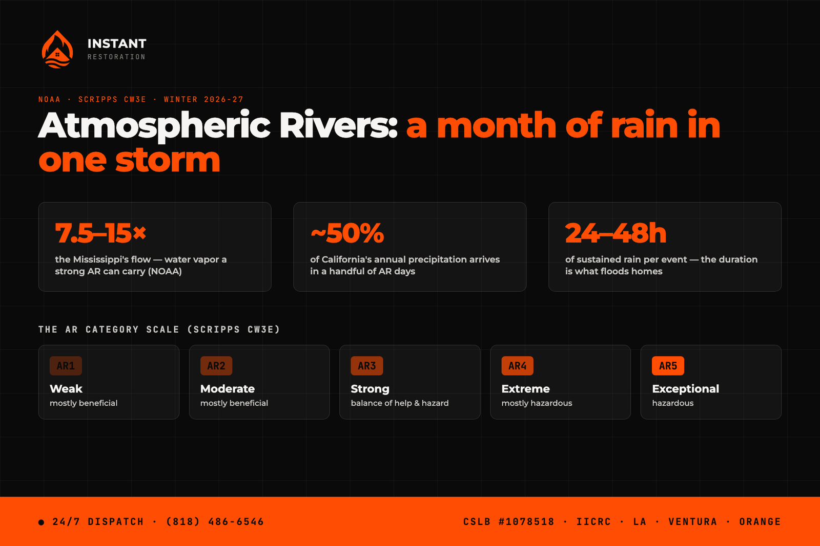
An atmospheric river explained in one sentence: it’s a long, narrow corridor of concentrated water vapor in the sky — a river in a very real sense — that flows off the Pacific and, when it makes landfall on California, wrings out as sustained, heavy rain for one to two days straight. That duration is the whole story. A normal winter storm passes through in hours; an atmospheric river parks a firehose over the same watersheds for 24 to 48 hours, which is how a single storm can deliver what Los Angeles normally gets in a month. According to NOAA, a strong one transports water vapor at 7.5 to 15 times the flow at the mouth of the Mississippi River, and a handful of these events deliver on the order of 30 to 50 percent of the West Coast’s annual precipitation. This is a living guide — we’ll update it through the winter as real ARs line up.
What is an atmospheric river, exactly?
Picture the water cycle’s freight line. Warm air over the tropical Pacific loads up with evaporated moisture; the jet stream organizes that moisture into a ribbon a few hundred miles wide and a couple thousand miles long; and that ribbon rides toward the coast. When it hits California’s mountains, the air is forced upward, cools, and releases the moisture as precipitation — steadily, for as long as the ribbon keeps feeding. The famous “Pineapple Express” is simply an atmospheric river whose tail reaches back to the waters around Hawaii, which is why those particular storms arrive warm and rain hard even at high elevations.
Two things make ARs different from ordinary storms in ways that matter to your house. First, the duration: gutters, yard drains, and hillsides that handle a three-hour storm fine start failing in hour twenty. Second, the warmth: a warm AR drops rain instead of snow high into the mountains, so more water runs off immediately instead of being banked as snowpack.
What does the AR1-AR5 scale mean?
Scripps’ Center for Western Weather and Water Extremes (CW3E) ranks atmospheric rivers on a five-category scale, based on how much vapor the storm carries and how long it lasts — from AR1 (weak, mostly beneficial rain) through AR3 (a balance of benefit and hazard) up to AR5 (exceptional, mostly hazardous). It works like the hurricane scale: when the local forecast starts quoting “AR3” or “AR4” for an incoming system, that’s your signal that this is not routine rain. The scale’s designers built it precisely so homeowners and emergency managers could tell the difference between a good soaking and a flood-maker before it arrives.
A useful rule of thumb for Southern California: AR1-AR2 mostly refills reservoirs; AR3 starts testing drainage, roofs, and slopes; AR4-AR5 is when homes flood, hillsides move, and our phones don’t stop.
Why do atmospheric rivers hit LA and Ventura County so hard?
Terrain and timing. Our mountains squeeze rain out of the ribbon efficiently and funnel the runoff into short, steep watersheds that reach neighborhoods within minutes — there’s no long river system to buffer the surge. Soil here also isn’t conditioned for sustained rain: after months bone-dry, the first hours of an AR mostly run off rather than soak in. And this winter stacks two multipliers on top: a very strong El Niño, which historically steers more and wetter ARs at Southern California, and fresh burn scars around the region, where an AR’s sustained rain rates are exactly the trigger for debris flows.
Back-to-back events are the scenario that fills our schedule for weeks: the first AR saturates the ground, and the second one — even a weaker one — arrives with nowhere for its water to go.
What should you do before an AR makes landfall?
Everything on our first-storm checklist applies, compressed to the 48 hours of warning an AR forecast usually gives: gutters and drains clear, sandbags at known entry points, cars out of low spots, phones charged and county alerts on. When an AR3 or higher is forecast, add one thing — decide in advance what “water is getting in” triggers you to do, because mid-storm at 2 AM is the worst time to look up who to call. If water does get in, speed decides how much of your home survives it: extraction and drying within the first day is the difference between drying out and rebuilding, which is exactly what our water damage restoration crews do around the clock across Ventura County, LA, and Orange County.
If an atmospheric river gets the better of your home this winter — water inside, mud at the door, a ceiling giving way — call (818) 486-6546. We answer 24/7, and during AR events we surge crews for exactly this.
Oren Gedalia, Owner — CSLB #1078518