
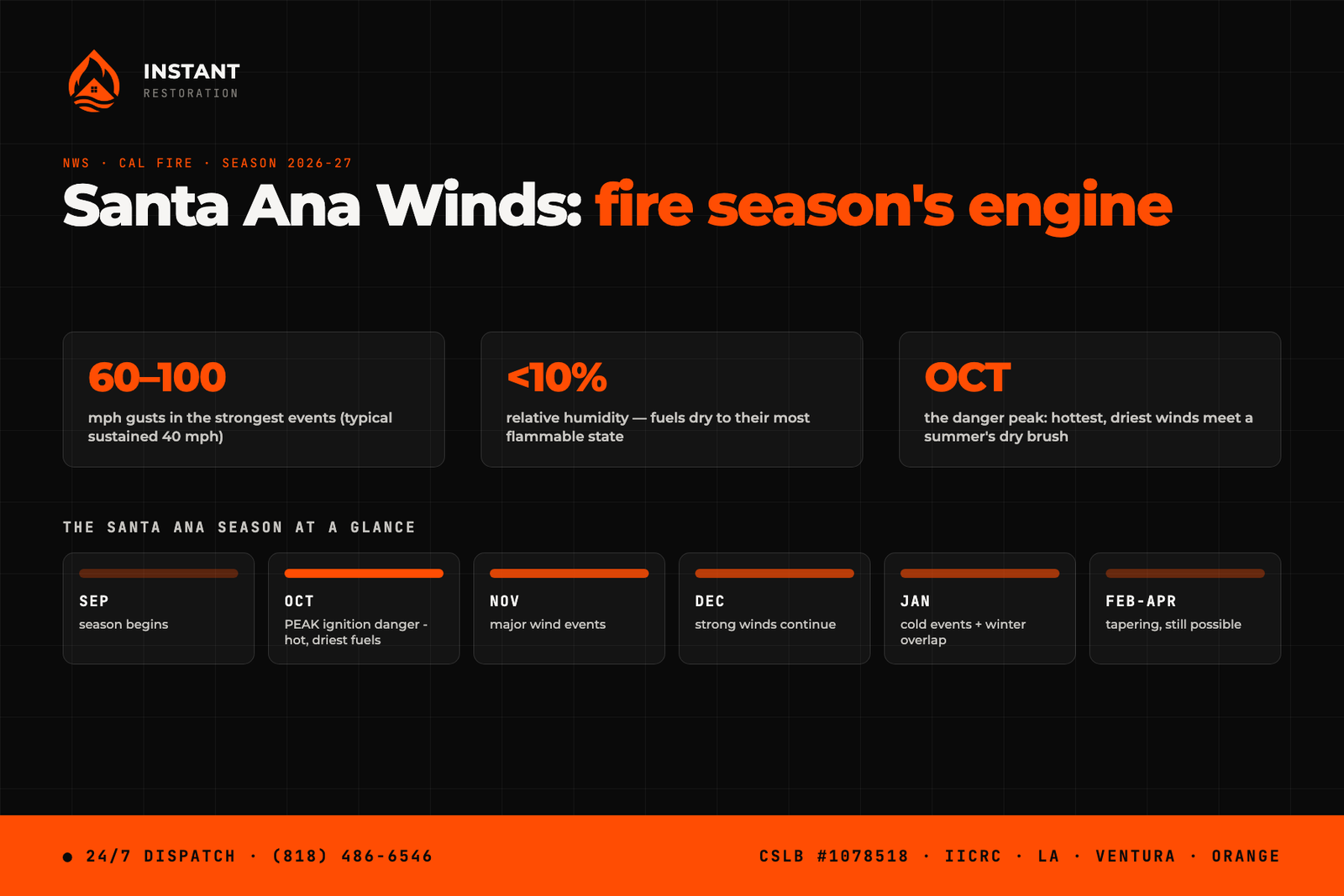
Santa Ana winds are Southern California fire season’s engine, and the 2026-27 season is starting now: the winds run roughly September through May, the biggest wind events usually land December and January — but the most dangerous month is October, when hot, bone-dry winds arrive over brush that just spent an entire summer drying out. During a strong event, humidity drops below 10 percent, sustained winds run around 40 mph with gusts of 60 to 100 in the passes and canyons, and any ignition — a power line, a chain dragging on the freeway, a mower blade — becomes a wind-driven fire within minutes. This guide covers the season’s timeline and the home-protection checklist worth doing before the first Red Flag Warning of the fall, not after.
What are Santa Ana winds, and why do they drive fires?
Santa Anas are downslope winds. High pressure parks over the Great Basin — the high desert of Nevada and Utah — and pushes air toward the coast. As that air funnels down through the mountain passes, it compresses, which heats it and squeezes out its remaining moisture. What arrives in LA and Ventura County is hot, accelerating, desert-dry air moving opposite the ocean breeze that normally keeps our vegetation humid.
The fire math is brutal and simple: humidity under 10 percent cures brush into standing kindling; 40-mph wind pushes flames faster than crews can flank them; and the same wind carries burning embers a mile or more ahead of the fire front, starting spot fires behind everyone’s lines. Every major wind-driven fire in this region’s recent memory — including the Mountain Fire that filled Camarillo homes with smoke in 2024 — rode a Santa Ana event. The National Weather Service Los Angeles office issues the Red Flag Warnings that flag these setups; that’s the single most useful alert a Southern California homeowner can turn on.
When is Santa Ana season — and when is it most dangerous?
The season and the danger don’t peak together, which surprises people:
- September: the first events arrive — usually weak, but landing on the year’s driest fuels.
- October: the danger peak. The Great Basin has cooled enough to drive wind, but the air starts warm — so the winds arrive at their hottest and driest, over brush that hasn’t seen rain since spring. October Santa Anas have driven many of the region’s worst fires.
- November-January: the wind peak. Events get stronger and more frequent — this is when 60-100 mph canyon gusts show up — but each winter rain gradually takes the fuels down a notch.
- February-April: tapering, still capable of a late-season event, especially in a dry winter.
One more wrinkle for this particular year: a strong El Niño winter tends to bring earlier and wetter rains, which shortens the window where extreme wind meets extreme-dry fuel — but it does nothing about October, and it adds the whiplash problem of fires followed weeks later by atmospheric rivers on fresh burn scars.
The before-the-first-Red-Flag checklist
- Clear the ember beds. Dry leaves in gutters, on the roof, and against the house are where wind-blown embers land and smolder. This is the same gutter job as storm prep, a month earlier and for the opposite reason.
- Give the first five feet nothing to burn. Wood mulch touching the wall, brush against the fence, firewood stacked on the patio — during Red Flag season, the strip closest to the house should be bare, stone, or well-watered.
- Screen the vents. Attic and crawlspace vents are how embers enter homes that never touch flame. Eighth-inch metal mesh over vents is cheap and one afternoon of work.
- Know your PSPS risk. Utilities now preemptively cut power in high-wind fire weather. If your address is in a Public Safety Power Shutoff zone, plan for outages during wind events: charged batteries, garage door manual release, medication refrigeration.
- Seal the smoke paths. Even a fire miles away pushes smoke into homes through door gaps, window seams, and vents — we documented what that does inside a Camarillo house in our smoke vs. fire damage guide. Weatherstripping and a supply of MERV-13 filters for the HVAC cost little and matter a lot during fire weather.
- Turn on the alerts. NWS Red Flag Warnings, your county’s emergency alerts, and your utility’s PSPS notifications — all three, before October.
If a fire — or its smoke — reaches your home
Structure damage from flames is the obvious loss, and our fire damage restoration crews handle that full sequence: board-up, assessment, demolition, rebuild. But the far more common Santa Ana outcome across Los Angeles County is the home that never burned and still got hurt — smoke driven inside for hours, soot settling on every surface, the acidic residue working on paint and metal for weeks after the smell fades. That damage is real, it’s usually covered, and it’s fixable — but like everything in this business, it’s cheapest to address fast. The NWS wildfire safety pages cover evacuation basics; we cover what’s left when you come home.
Wind event left you with a torn-open roof, a tree through the fence, or a house full of smoke? Call (818) 486-6546 — 24/7 across LA, Ventura, and Orange County, all season long.
Oren Gedalia, Owner — CSLB #1078518